How well is your city performing?
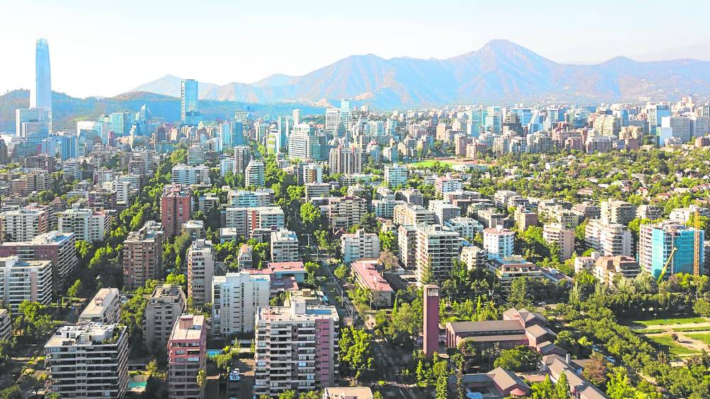
This city has large open green space in-between buildings, thereby reducing the feeling of congestion. (Source: Unsplash)
How can we tell if the city where we live is performing well?
Management guru Peter Drucker laid the foundation of modern management—insisting that you cannot improve what you cannot measure. It is similar to our children’s school report card. We can track our children’s performance across subjects and over time, use their grades on the report card as a reference for improvement.
Applied to the planning and management of cities, this line of thought has enabled mayors, urban planners and managers to set goals, track progress and analyze the effects of implementing polices and projects. Measuring a city’s performance helps communities and their leaders make informed decisions and ensure that results meet goals.
I would like to share some of what I, as an urban planner, believe are the most important urban metrics to be taken into consideration when thinking about your city’s performance.
Land use mix
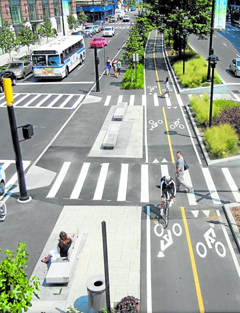
Streets and bike lanes with properly designed pedestrian crossings (Source: CRAIN’s DETROIT BUSINESS)
A mixture of land uses has been shown to encourage non-motorized modes of travel such as walking and cycling, which in turn have a proven positive impact on public health.
It is a key component of livable communities that everything is within reasonable distances, which can mean a five to 20 minute-walk to a cluster of services or public place.
We assess land use data to determine accessibility to basic services. This is helpful in establishing potential destinations in a neighborhood within easy walking or commuting distance. While local activity centers and public spaces provide areas for people to socialize, housing is key to populating places that actually bring people together.
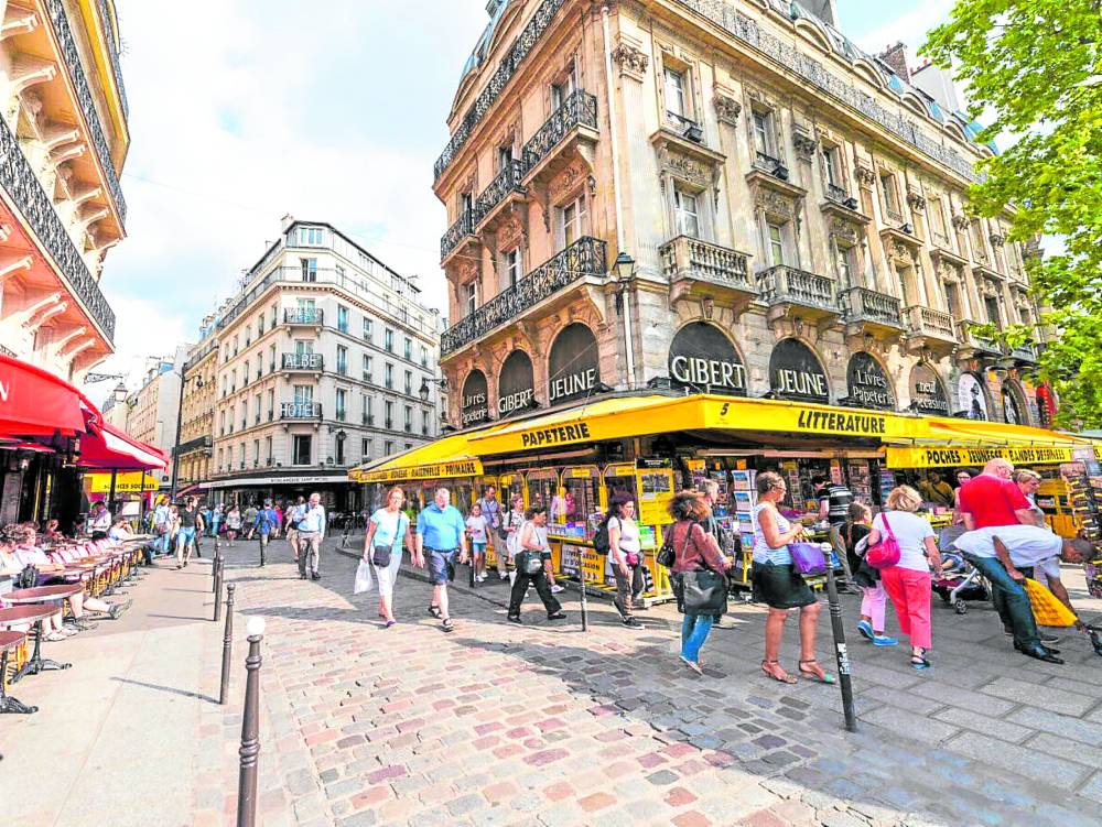
Destinations (points of interest)
These provide a reason to walk—a place to eat and drink, buy food and groceries, or the local school where your child goes to. These can also include medical facilities, a large office building, a cluster of retail shops, a place of worship or any place that attracts people.
Points of interest may be clustered around a local center or distributed along a main street. Ground-level commercial activity not only provides a reason to walk, but also ensures transparent facades, more eyes overlooking the street and a safer urban environment in general.
Density
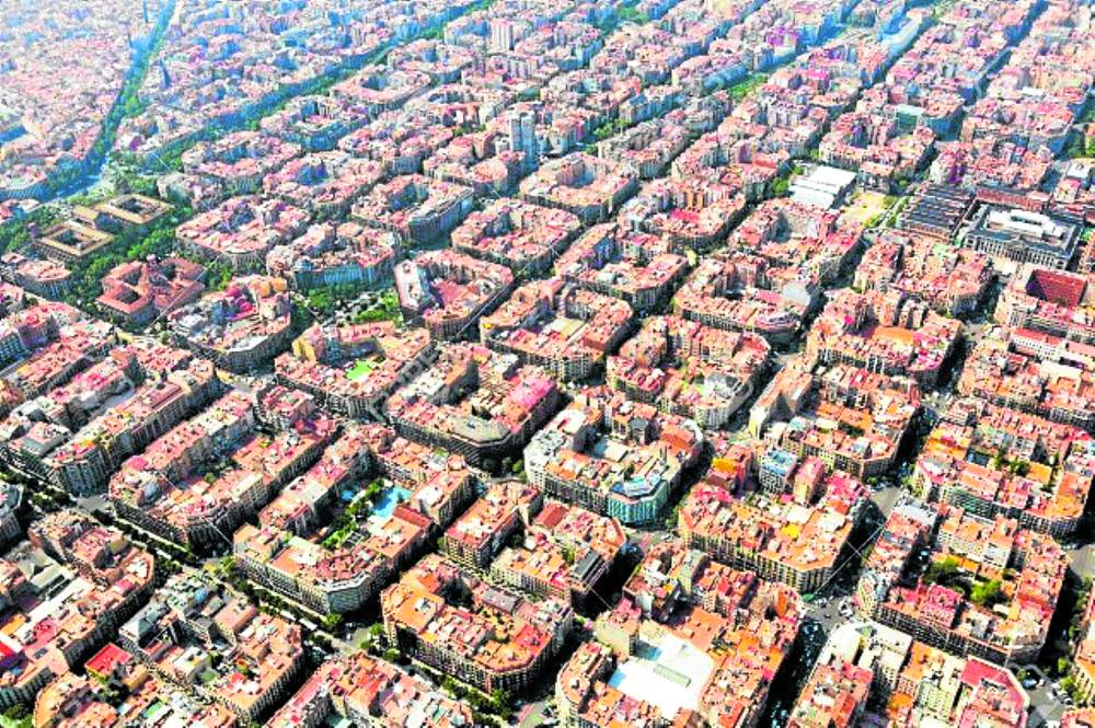
Aerial view of streets and blocks in Barcelona where blocks are small and more conducive for walking (Source: 123RF)
Compact and connected urban environments are the ultimate anti-sprawl strategy to help reduce carbon footprint and reverse the effects of climate change. Denser cities encourage walking, allow for shorter trip lengths and complement the benefits of mixed land use.
There are different ways to measure density but the three most common metrics are population density, floor area ratio (FAR) and number of dwelling units per land area.
Some people do not like high density, believing it causes congestion and overcrowding. But high densities can be achieved without being overcrowded. It depends on how the space is designed.
Intersection density
This refers to the number of street intersections in a given area. A well-connected street network allows for shorter trip lengths and encourages walking. Short blocks result in more intersections and ultimately in the generation of diversity and more opportunities for people to meet.
Mobility
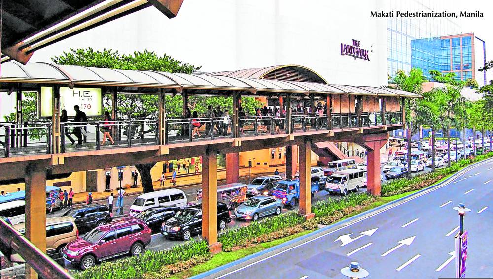
The elevated pedestrian walkway in Makati which makes it convenient for people to walk from Greenbelt 5 to the MRT station on Edsa (Source: ROMA Collaborative)
Mobility metrics measure a city’s ability to allow people and goods to move efficiently. These usually observe volumes, capacity and travel times. Pedestrian volumes, number of mass transit riders and number of people in private vehicles are examples of key performance measures.
Mobility can also be measured in terms of access to destinations or by the number of LRT or MRT stations within walking distance. Research suggests that most people are willing to walk for about 5 minutes before opting to drive or take public transport. This suggests that the ideal spacing between bus stops is 400 meters and 800 meters for jeepney as well as railway stations.
The quality of the pedestrian walkway also has a big influence in attracting people to walk. The 600-meter elevated walkway in Makati, from Greenbelt 5 to the MRT station in Edsa, is fully roofed. As it’s elevated, pedestrians are separated from motor vehicles, making it safer to walk.
Safety
A pedestrian-oriented street in a community with mixed land uses (Source: Peacock Plume)
Safety can be measured by the number of car crashes or the proportion of pedestrian and cyclist fatalities in road traffic accidents.
Some traffic safety experts claim that when you double the size of a block, you quadruple the number of fatal accidents on non-highway streets as drivers tend to drive faster through longer blocks. Reducing street width is said to limit speeding, improve pedestrian experience and encourage walking. This means street design has a direct impact on safety.
Safety can also be a perceived quality of the urban environment corresponding to the number of people living in disaster-prone areas.
Economic vitality
A city’s economic vitality depends on a number of factors. In general, two driving forces lead to the concentration of jobs and economic activity in densely populated urban areas.
Scale economies refer to the number of businesses and consumers in a location, which encourages the formation of large commercial areas and production establishments. Agglomeration economies refer to the concentration of businesses and consumers in a particular place, which encourages businesses and services to cluster together. These are what ultimately attracts people to the compact setting of a large city.
Other indicators include data on new development in square meters or financial investments, real estate sales, rent and property values. Demographic data on employment rates, access to jobs and services also reflect a city’s economic prosperity.
On the neighborhood level, local retail sales are great indicators for evaluating the effects of streetscape improvements, renovations and major infrastructure projects.
Demographics
Census data is one of the best sources of demographic insights and allows isolating trends both on the micro level of the barangay and macro level of the entire city. We can observe how population declines or grows over time, and identify what causes these changes.
Household income and poverty rate are key demographic metrics. When paired with data on education, labor market and crime, these provide a socio-economic profile of the population.
Comfort, design
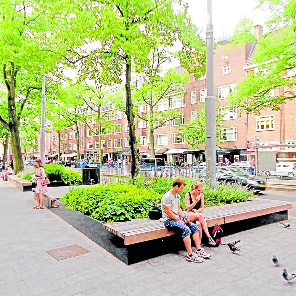
Comfortable rest areas can be combined with street trees and landscaping for more pleasant urban places. (Source: EXTERNAL WORKS)
The quality of public space —streets, sidewalks, plazas, parks—is a snapshot of the quality of life in a city.
Well-designed public spaces have good pedestrian, bicycle and public transport connectivity. They provide comfort and multiple opportunities for people to socialize.
A comfortable place to sit and enjoy street life requires benches, shade trees and all the other amenities of a vibrant urban environment such as street food, public events or simply a water fountain ledge to relax on. The presence of tree canopy and shade, the quality of the light, and the availability of ground-level activity are essential for bringing people together.
There are many other indicators of a city’s performance, but the ones I have cited are what I believe to be the most important. In the ultimate analysis, it is a matter of what you, as a city resident, believe are the city’s features that work for you, depending on your tastes, your adaptability, your expectations and your resources.
The author is an architect and environmental planner; the chairman and chief urban planner of Consultants for Comprehensive Environmental Planning (CONCEP Inc.); president, Alliance for Safe, Sustainable & Resilient Environments (ASSURE); and past president of Creba