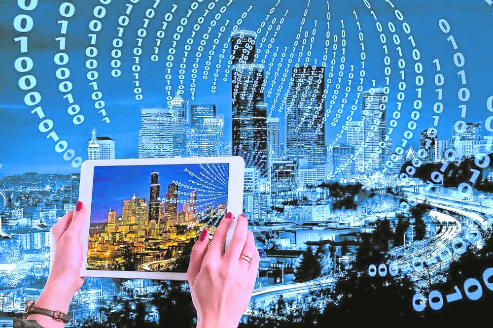
When virtual reality (VR) or augmented reality (AR) is mentioned to most people, the first thing that comes to mind is playing games.
To be fair, VR was focused on gaming for quite some time. Over the past few years however, with the rise in web 3.0 technology, more practical uses for these visualization technologies have come about, and some of them directly impact the property industry.
Before we get into the specifics, let’s first differentiate the two technologies. AR uses a real-world setting, while VR is completely virtual. AR is a view of the real world with a digital overlay of information or elements, while VR is only accessible through a headset and completely blocks out the physical world. Both have their strengths and weaknesses when it comes to the property setting.
Now that we’ve defined our technologies, let us look at some of the practical applications when it comes to township planning.
Public participation
AR and VR can help the public participate in the planning process. Residents can provide feedback on proposed developments and directly comprehend any possible impacts through interactive virtual experiences. This method encourages transparency and inclusivity in decision-making. The “Virtual Singapore” project is one example of this, in which citizens can use VR technology to explore and provide feedback on urban planning projects.
Infrastructure planning
Both AR and VR can help with complex infrastructure planning within townships. Utility businesses, for example, can utilize augmented reality to visualize and simulate the location of subterranean infrastructure such as water pipes and electrical wires. This system ensures efficient and accurate planning, lowering the danger of costly building errors.
Enhanced visualization
Using AR and VR, planners, architects, and residents can visualize and explore proposed townships and developments. Architects, for example, can utilize VR to generate virtual walkthroughs of proposed designs, cityscapes and parks, assisting them in identifying potential concerns and making educated decisions.
Historical preservation and cultural heritage
Using AR, you may overlay historical facts and virtual reconstructions onto existing structures or places in a township that can even be accessed via a smartphone. This immersive experience contributes to the preservation of cultural assets, the education of residents and visitors, and the promotion of tourism. The “City of Spires” project in Florence, Italy utilizes AR to rebuild ancient buildings destroyed during World War II.
Safety and emergency preparedness
To improve their preparedness and reaction capabilities, emergency responders can participate in virtual simulations of various scenarios inside the township. It enables them to test evacuation procedures, analyze potential threats, and create effective emergency plans. AR can also be used to overlay potential water hazards and flooding using data modeling and AI to show potential peak flooding areas and best evacuation routes.
Future of township planning
Over the next decade, these technologies will be used more and more in conjunction with township planning and resident engagement.
It’s one thing to read through a bunch of figures, and another to see the ramifications of these figures appear right before your eyes. AI-generated images and models are becoming more sophisticated by the year, and virtual reality models will certainly drop in price as this AI technology is refined.
Urban developers and township planners would be wise to add these technologies to their portfolio to gain maximum advantage.
The author is the COO and digital co-founder of PropertyAccess
Both AR and VR can help with complex infrastructure planning within townships.
Using AR and VR, planners, architects, and residents can visualize and explore proposed townships and developments.